
Photograph by Jaclyn Chu, Your Shot
Road Trip: Banff and Jasper National Parks, Canada
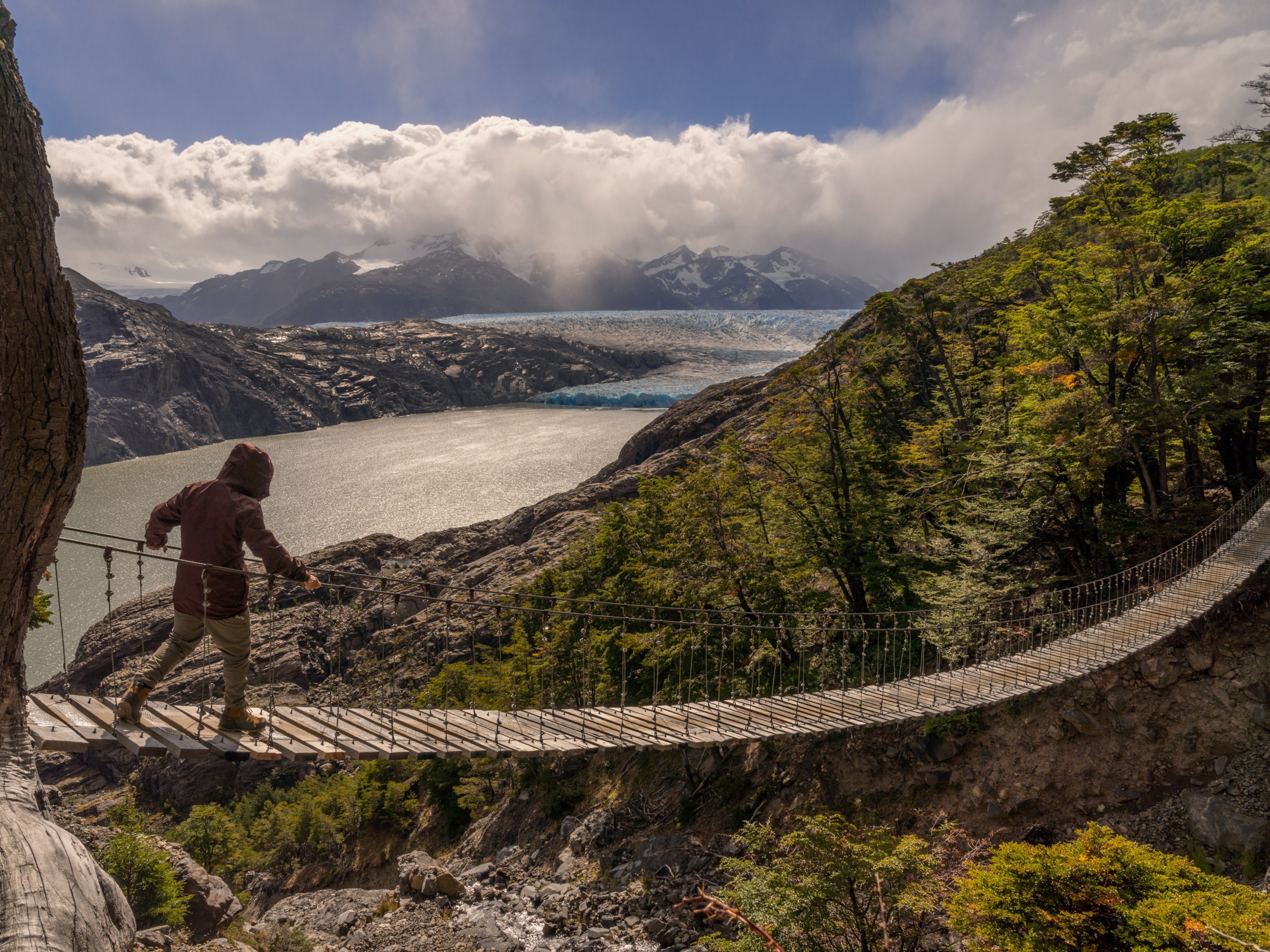
One of the crown jewels of western Canada, here you'll take in exhilarating vistas of forest, crag, and glacier.
September 14, 2010
14 min readStarting on the fringe of the Great Plains and climbing through the incomparable mountain scenery of Banff and Jasper National Parks, this magnificent drive—one of the crown jewels of western Canada—combines exhilarating vistas of forest, crag, and glacier.
Overview
The route begins near Calgary, heads west 84 miles (135 kilometers) to the border of Banff, then goes 36 miles (58 kilometers) to the northwest through the heart of Banff to Lake Louise. For 144 miles (232 kilometers), the route follows the Icefields Parkway, one of the world's most stunning roadways, farther north to Jasper. Along the way, look for elk, bears, and other wild creatures; stop to take guided hikes, tour historic buildings, and attend a campfire chat.
Begin in Cochrane
From Calgary, follow Highway 1A northwest to Cochrane, an old ranching town at the foot of the Rockies and now a Calgary bedroom community. Little of the cowboy era remains at Cochrane Ranche Historic Site (Junction of Highways 22 and 1A; tel. 1 403 932 4705), headquarters for Alberta's first large-scale ranch—a 109,000-acre (44,111-hectare) flop, founded in 1881. Other ranches thrived, of course, and an interpretive mural and bronze statue on-site celebrate both failures and triumphs.
Enter Banff National Park
To the west, Highway 1A weaves through prairie foothills and climbs along the Bow River to Trans-Canada 1 and on into the forest and grand interior mountain valleys of Canada's first national park, Banff National Park (tel. 1 403 762 1550; $9.80), established in 1885. Stretching roughly 300 miles (480 kilometers) along the jagged crest of the Canadian Rockies, Banff and the adjoining Jasper National Park take in a vast tangle of great strapping peaks, mauled by glaciers and capped by the largest ice fields south of Alaska. Meltwaters thunder from the heights, pool in gemlike alpine lakes, and rush down the forested walls of broad U-shaped valleys into powerful rivers. It's a staggering, heart-swelling landscape, rich in wildlife, laced with hiking trails, and traversed by the most spectacular system of roads in the Rockies.
Bow River
An 1880s railroad town and tourist destination from the start, Banff (tel. 1 403 762 8421) lies along the Bow River in a broad valley ringed with forested peaks that dwarf a crush of hotels, restaurants, and shops. The dense evergreen trees, swift blue waters of the Bow, and an abundance of bike trails, picnic spots, and footpaths mitigate the traffic and help Banff avoid the carnival air that can mar national park gateways.
Whyte Museum
For a quick summary of Banff's human history, visit the Whyte Museum of the Canadian Rockies (111 Bear St; tel. 1 403 762 2291; $6), which bridges the 10,000-year gulf between those who hunted huge Pleistocene mountain sheep with chert spears and the Victorian gents who tackled the same peaks in waistcoats and ties. Nearby, western Canada's oldest natural history museum, the rustic 1903 Banff Park Museum (91 Banff Ave; tel. 1 403 762 1558; fee) remains true to its era with stuffed specimens of moose, bears, bison, foxes, and dozens of birds displayed in elegant glass-fronted cabinets.
Banff Museums and Natural Sites
Across the river stands the park's administration building, a noble stone facade reminiscent of an English country house and surrounded by expansive lawns, rock grottoes, and terraced gardens. While you're in the area, stop at the Buffalo Nations Luxton Museum (1 Birch Ave.; tel. 1 403 762 2388; fee) to admire the handiwork of various native peoples. Next, follow Cave Avenue west through the forest to the birthplace of Canada's national park system, Cave and Basin National Historic Site (tel. 1 403 762 1566; fee), where two hot springs bubble to the surface—one inside a cave, the other nestled against the hillside—both within a restored 1914 native stone bathing complex. Duck through a low tunnel into the cave, with its wide pool of clear sulfurous water. Admire the view from the reflecting pond, and peer into the colorful waters of the basin. Exhibits explain how this compelling spot led to the establishment of Banff.
Upper Hot Springs
Since swimming is no longer allowed at Cave and Basin, follow Mountain Avenue to Upper Hot Springs (tel. 1 403 762 1515; fee), where a historic stone bathhouse and outdoor pool face the tilted gray slabs of Mount Rundle. Nearby, the Sulphur Mountain gondola (tel. 1 403 762 2523; call for schedule, fare) climbs 2,292 vertical feet (698 meters) to a summit restaurant, trails, and knockout alpine vistas.
Fairmont Banff Springs Hotel
Back in Banff, follow Banff Avenue across the bridge to Spray Avenue, then drive up to the 1928 Fairmont Banff Springs hotel (405 Spray Ave.; tel. 1 403 762 2211; fee for tours, offered daily in summer excluding Sundays). Pick up a map in the lobby and wander through this colossal stone palace—rustic, elegant, and a bit medieval. In 1941 a week of room, board, and golf, plus a round-trip first-class train ticket from San Francisco, cost $145.75.
Lake Minnewanka
Northeast of Banff, follow the five-mile (eight-kilometer) loop road toward Lake Minnewanka, an immense, fjordlike lake cradled between massive peaks, and explore the remains of Bankhead, an old coal-mining town. Then head north on the Bow Valley Parkway (Highway 1A). A slower, quieter route than Trans-Canada 1, it still delivers you to Lake Louise in about an hour, offering better views of the mountains and a far better chance of seeing elk, deer, coyotes, and bears.
Johnston Canyon
Along the way, hike up Johnston Canyon (16 miles/25 kilometers northwest of Banff), a narrow limestone chasm with two thundering waterfalls. Crowded but worth it, the spectacular 1.6-mile (2.7-kilometer) trail veers out over the rushing water on catwalks bolted to the cliffs. Admire the immensely powerful falls, amid the blast and spray and percussive, gut-thumping crash of exploding white water.
Lake Louise
To reach Lake Louise, follow Highway 1A past the Lake Louise townsite, cross the river, and climb through steep subalpine forests to the jammed parking areas below the Fairmont Chateau Lake Louise hotel (tel. 1 403 522 3511), a massive, cream-colored edifice walling off the eastern lakeshore. Rubberneck the lobby, then amble out to the dazzling shoreline. The lake itself stretches off between high, knobby peaks to the abrupt wall of glacier-clad Mount Victoria, which soars 11,365 feet (3,464 meters). Take the shoreline path to the end of the lake and back (3.1 miles/5 kilometers), or hike up to the teahouse at Plain of Six Glaciers (3.4 miles/5.5 kilometers). Follow the cutoff to Moraine Lake, a luminescent turquoise gem nestled beneath a long row of crumbling summits that form the Valley of the Ten Peaks.
Lake Louise Visitor Centre
Back in town, stop by the Lake Louise Visitor Centre (tel. 1 403 522 3833) for a geology summary of the Canadian Rockies. Out back, you'll find the start of the Bow River Loop, a 4.3-mile (7-kilometer) interpretive trail. For a grandstand vista of the glacier-capped peaks, glide up the flanks of Mount Whitehorn on the Lake Louise Sightseeing Lift & Gondola (tel. 1 403 522 3555; May to Sept.; fee).
Icefields Parkway
Most people find it hard to tear away from Lake Louise, but a great swath of sensational country awaits north along the Icefields Parkway (Highway 93). Named for the Columbia Icefield and the squadron of glaciers visible along the route, the parkway bowls along for 143 miles (227 kilometers), passing through long, forested river valleys cradled by walls of dazzling peaks. Drivers frequently spot elk, moose, bighorn sheep, mountain goats, black and grizzly bears, wolf, or caribou. After about 21 miles (34 kilometers) of forest and crag, pull over beside Bow Lake for a good look at Crowfoot Glacier clinging to the scabrous cliffs of Crowfoot Mountain. From the lake's north end, you can make out Bow Glacier Falls, a ferocious cascade plummeting nearly 400 feet (120 meters). A 3-mile (4.7-kilometer) trail leads to its base.
Mistaya Canyon
At Bow Summit, follow the spur road west and stroll to where Peyto Lake Viewpoint overlooks a creamy blue lake, its glacial source, and the broad, forested valley of the Mistaya River. Continue past Waterfowl Lakes, and walk down to Mistaya Canyon, a sinuous fissure so narrow and deep you may have trouble seeing the water that crashes through it.
Saskatchewan River Crossing
At Saskatchewan River Crossing, pick up the gravelly bed of the North Saskatchewan River and begin a climb toward the treeless alpine zone. Not far beyond the Weeping Wall (the damp brow of curving limestone to your right), the road makes a sharp curve and begins a steep ascent. As you round its northern flank, consider hiking to the crest of Parker Ridge, a fairly strenuous climb to a panoramic vista of the Saskatchewan Glacier, curving down from the edge of the vast Columbia Icefield.
Enter Jasper National Park
Soon you cross Sunwapta Pass into Jasper National Park (tel. 1 780 852 6176; fee), descending to the toe of Athabasca Glacier, a broad ramp of ice and snow slanting down between Mount Athabasca (on the left) and Snow Dome. Signs along the spur road record the pace of its retreat during the past hundred years. Hike to the edge of the glacier, but don't venture onto the ice without a qualified guide—the crevasses are deep, and people have died in them.
Columbia Icefield Centre
Across the highway, learn about glacial mechanics at the Columbia Icefield Centre (tel. 877 423 7433; www.columbiaicefield.com), a thronged activity complex where you can grab a bite, book a tour of the glacier via Ice Explorer (all-terrain vehicle), or visit the best natural history museum in either park. A large three-dimensional model of the Columbia Icefield clearly shows its extent (100 square miles/259 square kilometers) and its three meltwater drainages (Arctic, Atlantic, Pacific). Other displays examine wildlife of the alpine zone and explain how glaciers form, grow, and retreat.
Sunwapta River
Follow the Sunwapta River northwest as it rushes down into the forest and gathers strength from countless creeks and waterfalls spilling from the Winston Churchill Range to the west. Peer over the cliffs at Sunwapta Falls, a great ripping blast of foam, then coast along the Athabasca River to Mounts Fryatt, Brussels, and Christie viewpoints. With a natural mineral lick on both sides of the road, the nearby Goats and Glaciers viewpoint is one of the park's most dependable sites for spotting mountain goats. Next, turn onto Highway 93A and take in Athabasca Falls, usually crowded, and for good reason. Here, the river's milky blue waters funnel into a chasm and break into a creamy plume of white water with Mount Kerkeslin as a backdrop. Several miles farther north, take the slow, 9-mile (14-kilometer) side trip to the base of Mount Edith Cavell, a vast wall of dark gray rock and snow that sweeps upward nearly a vertical mile from the parking area. Angel Glacier spills from the cliffs like an immense petrified waterfall, and two loop trails beckon.
Jasper
Then it's on to Banff's northern counterpart, Jasper (tel. 1 780 852 3858), a turn-of-the-century railroad town and resort area that lies along the Athabasca River within sight of four mountain ranges. Small lakes—some warm enough for a dip—dot the valley floor, and trails for walking and biking loop throughout.
Jasper Tramway
For an aerial view, board the Jasper Tramway (south of town off Highway 93; tel. 1 780 852 3093. April-Oct.; fare), soar over the steep northern face of Whistlers Mountain, and walk a short distance to the summit through wildflowers. Jasper lies about 4,300 feet (1,311 meters) below, the Columbia Icefield shines to the south, and you might catch a glimpse of Mount Robson to the west. The view can leave you speechless.
Maligne Canyon
Southeast of town, Maligne Canyon (follow signs off Trans-Canada 16) cuts across the forest floor as a deep, serpentine crack where the Maligne (muh-LEEN) River slips, pools, swerves, and drops among potholes, hollows, and smooth overhanging walls of limestone. Loiter or hike along the brink, then continue beside the river past Medicine Lake to Maligne Lake, the region's longest (13.7 miles/22 kilometers) and deepest (318 feet/97 meters). Book a 90-minute cruise (Maligne Tours; tel. 1 780 852 3370; June-Sept.; reservations advised; fee) and glide down this narrow lake toward the bulky, glaciated peaks that crowd its southern shore.
Mount Robson Provincial Park
If there's time, consider a half-day side trip into Mount Robson Provincial Park (55 miles/88.5 kilometers west on Trans-Canada 16; tel. 1 255 566 4325) to see 12,972-foot (3,954-meter) Mount Robson, the highest peak in the Canadian Rockies, and a stunner even after you've grown blasé about mountains.
Road Kit
The best time to drive this mountainous route is June to September. For local weather conditions, see www.weatheroffice.gc.ca. For general information about Banff, see www.pc.gc.ca/pn-np/ab/banff/index_e.asp; for general information about Jasper, see www.pc.gc.ca/pn-np/ab/jasper/index_e.asp. Do not expect to find a vacant campsite in Banff or Jasper National Parks after 4 p.m.; reservations are advised (tel. 877 737 3783; www.pccamping.ca). You should visit popular sites before 10 a.m. or in the early evening to avoid crowds.
—Text by Thomas Schmidt, adapted from National Geographic's Driving Guides to America: Canada (1st ed.)


You May Also Like


Go Further
Animals
- How can we protect grizzlies from their biggest threat—trains?How can we protect grizzlies from their biggest threat—trains?
- This ‘saber-toothed’ salmon wasn’t quite what we thoughtThis ‘saber-toothed’ salmon wasn’t quite what we thought
- Why this rhino-zebra friendship makes perfect senseWhy this rhino-zebra friendship makes perfect sense
- When did bioluminescence evolve? It’s older than we thought.When did bioluminescence evolve? It’s older than we thought.
- Soy, skim … spider. Are any of these technically milk?Soy, skim … spider. Are any of these technically milk?
Environment
- Are the Great Lakes the key to solving America’s emissions conundrum?Are the Great Lakes the key to solving America’s emissions conundrum?
- The world’s historic sites face climate change. Can Petra lead the way?The world’s historic sites face climate change. Can Petra lead the way?
- This pristine piece of the Amazon shows nature’s resilienceThis pristine piece of the Amazon shows nature’s resilience
- Listen to 30 years of climate change transformed into haunting musicListen to 30 years of climate change transformed into haunting music
History & Culture
- Meet the original members of the tortured poets departmentMeet the original members of the tortured poets department
- Séances at the White House? Why these first ladies turned to the occultSéances at the White House? Why these first ladies turned to the occult
- Gambling is everywhere now. When is that a problem?Gambling is everywhere now. When is that a problem?
- Beauty is pain—at least it was in 17th-century SpainBeauty is pain—at least it was in 17th-century Spain
Science
- Here's how astronomers found one of the rarest phenomenons in spaceHere's how astronomers found one of the rarest phenomenons in space
- Not an extrovert or introvert? There’s a word for that.Not an extrovert or introvert? There’s a word for that.
- NASA has a plan to clean up space junk—but is going green enough?NASA has a plan to clean up space junk—but is going green enough?
- Soy, skim … spider. Are any of these technically milk?Soy, skim … spider. Are any of these technically milk?
Travel
- How to see Mexico's Baja California beyond the beachesHow to see Mexico's Baja California beyond the beaches
- Could Mexico's Chepe Express be the ultimate slow rail adventure?Could Mexico's Chepe Express be the ultimate slow rail adventure?
